


Land use plans double wildlife corridors use as grazing plains
SYMBIOTIC relationships are being hatched between pastoral communities and conservation entities after restoration of landscape connectivity by implementing a proper land use plan.
Zacharia Faustine, the Tanzania Natural Resources Forum (TNRF) director made this observation at a recently organized familiarisation tour for journalists and activists in Babati and Kiteto villages, where 56 visitors drawn from Manyara and Arusha regions went to learn from the residents the way this arrangement works.
Acquaintance trip participants came from the regional secretariats, Babati and Monduli district councils, wards and village leaders as well as traditional elders, where in Babati Rural District, the team learned of protecting natural resources through proper land use management.
Marian Manso, chairperson of the settlement, said that this arrangement has enabled Sangaiwe village to be raking in 1.2bn/- as earnings from levies and corporate social responsibility allocations from tourism-based investments.
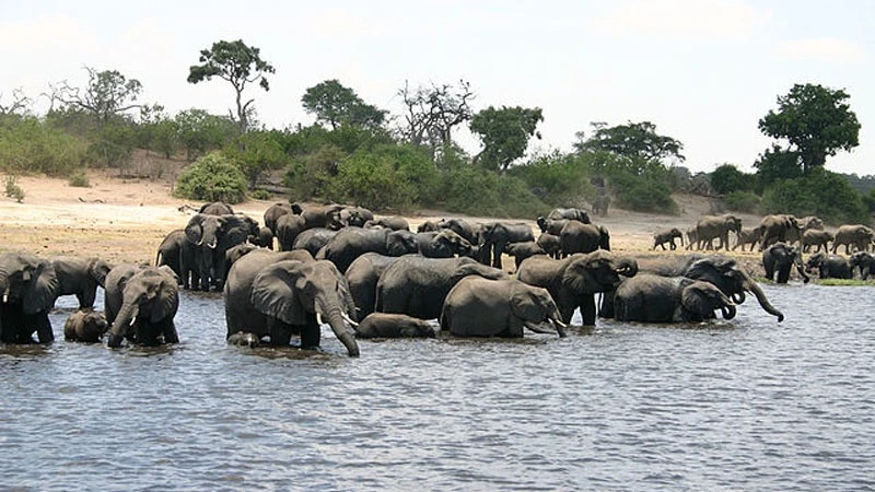
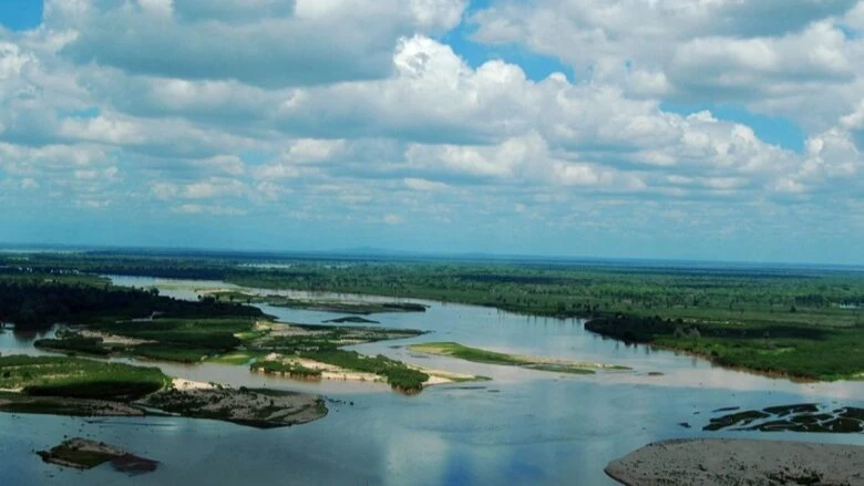
Sangaiwe, adjacent to Tarangire National Park, is among ten villages pooling in land to form the Burunge Wildlife Management Area, situated in the Tarangire-Manyara ecosystem, while in the more remote Kiteto District two wards formed a similar entity.
Makame and Ndendo wards constituted the Makame Wildlife Management Area through which 3,719 square kilometers of land are now designated for conservation, with 1,040 square kilometers of wilderness left for carbon trading.
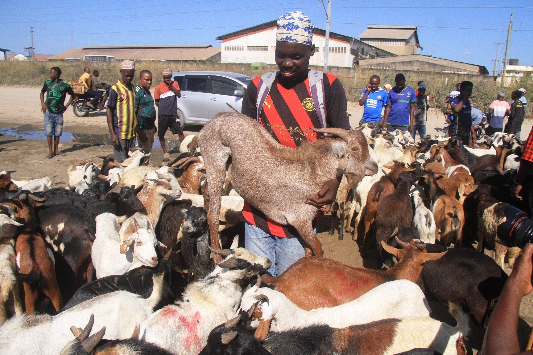
Supuk Koringa ole Kao, the Makame WMA secretary, said that this arrangement earns the villages upwards of 2.6bn/- annually, with Amei, Lolera, Lesoit and Lembapuli villages also in Kiteto District pooling in their territories to form the Alole rangeland.
It serves as joint grazing plains for villagers as well as connectivity tracks for wildlife owing to the low frequency of passage of predator species, the official noted.
Villages are pooling land to form joint community rangelands that provide grazing areas for livestock while also serving as important connectivity routes for wildlife moving from one national park or game reserve to another largely unperturbed, the TNRF director asserted.
“This is a win-win situation as livestock remain on grazing plains while wildlife can now move freely from one area of conservation to another,” he stated, elaborating that this new community based approach in environment conservation is proving to be effective in the restoration of wildlife corridors, with low risk of human-wildlife conflicts.
Village land use plans that support landscape connectivity have been successfully implemented in Babati and Kiteto districts, Manyara Region, where TNRF is coordinating an engagement process with financial support directed at northern zone conservation activities backed by the United States Agency for International Development (USAID), the director added.
Top Headlines
Trending Stories


© 2024 IPPMEDIA.COM. ALL RIGHTS RESERVED